“Map” feature in Web Crash
PS0029, part of Task #21
February 18, 2010
Updated: Put into production on: 2/21/2010
Purpose: Allows for LE to check their GPS coordinates. Also allows for correcting location and loading corrected coordinates back into Web Crash application fields.
Options:
1.) LE collects GPS from their handheld unit and inputs into Web Crash
or,
2.) LE starts with only City/Town as location.
LE Collects GPS from handheld and inputs into Web Crash
--Officer collects GPS.
--Identifies CoordSystem in Web Crash, and
--Inputs Long/Easting and Lat/Northing coordinates.
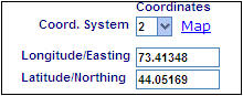
In example above, the CoordSystem is Lat/Long NAD83 so the coordinates are in decimal degrees (xx.xxxxx).
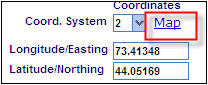
--To check to see if your coordinates are good, click on MAP.
--You may get the following window:
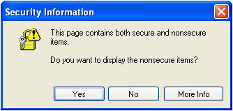
Click “Yes”.
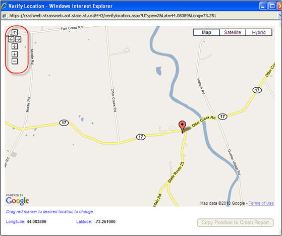
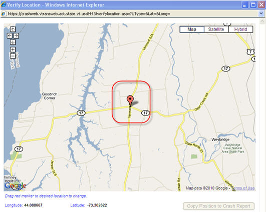
--Google maps will then open up. Your coordinates will be placed on the map by way of a location “pin”. See example below.
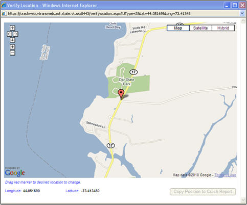
If pin mapped to the location of your crash, then you can just close the window clicking on the close window icon.
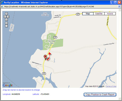
If the coordinates you entered did not return the correct location of the crash, you can make the correction here. In the example below, the pin is located too far south of where the crash occurred (at the intersection of VT-17 and Country Club Road). You can just click and drag the pin to the intersection of VT-17 and Country Club Road.
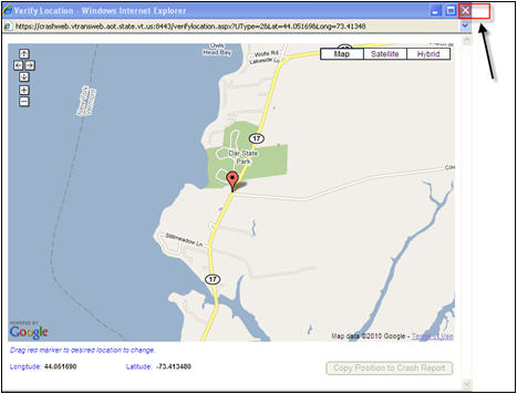
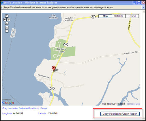
Once you are satisfied that you have placed the pin at the crash location, click on the ![]() at the bottom right of the window.
at the bottom right of the window.
You may get the Secure/Nonsecure question again. Answer “Yes” again.
The new coordinates will be placed in the correct fields in the Web Crash form.
LE starts with only City/Town as location
--In Web Crash, you input some general location information that includes at least the City/Town, but do not include GPS coordinates.
--Next, click on “Map”
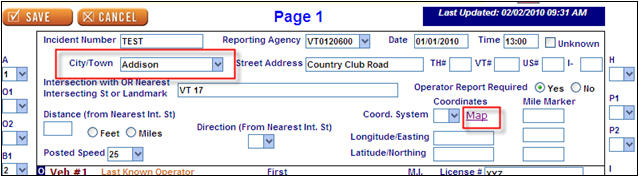
--Typically, Google Maps will place the pin at a major highway intersection or in the center of the town/city you identified in the City/Town field of the form. In the example below, the town identified in City/Town of Web Crash is Addison. Therefore, Google Maps places the pin at a point at the intersection of VT-22A and VT-17 in Addison.
--If this is not the location of your crash, then you may move the pin to the correct location by clicking and dragging the pin to the correct location.
--Once you feel comfortable with the pin location, click on the Copy Position to Crash Report and the coordinates will populate the Lat/Long fields.
NOTE: the Coordinate system returned to Web Crash fields will be Lat/Long NAD83 and the CoordSystem field will automatically be set to “2”
NOTES:
It is very important that you choose the correct CoordSystem for the coordinate numbers you input. If you identify the CoordSystem as Lat/Long NAD83 but input coordinates for VT State Plane (meters), then Google maps will return with a blank screen.
If you input Lat/Long, the coordinates returned are Lat/Long. (Same for VT State Plane).
If you move the tag and decide you do NOT want to save the location, just close the screen WITHOUT clicking on the “Copy Position to Crash Report” button.
You can maneuver within the Google Map screen. Using the arrows provided in the top left of the screen, you can move the map east/west/north/south or zoom in and out.