
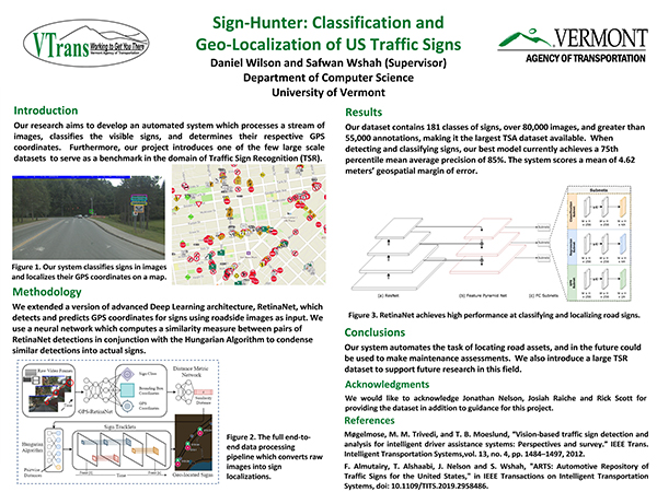
Brief Project Description: We have annotated the world's largest traffic sign recognition dataset containing 181 distinct classes of road signs and their GPS coordinates. From this data, we have built an automated system that identifies, classifies, and geolocalizes the signs from roadside images. This system will ultimately be capable of automatically constructing a GIS map displaying the type and GPS location of traffic signs using roadside images as input.
Poster: click to enlarge
Fact Sheet Video Other Q&A
Presenters: Daniel Wilson and Safwan Wshah, University of Vermont
VTrans Champion: Jonathan Nelson, Asset Management Bureau
Questions or comments about the Poster? Contact the researcher daniel.wilson@uvm.edu, safwan.wshah@uvm.edu. The researcher will assemble a Q and A document reflecting all queries received by 9 AM September 14th. The Q and A should be posted by September 15.