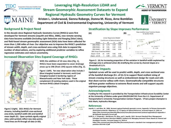
Brief Project Description: Regional hydraulic geometry curves (RHGCs) for Vermont have been updated through development of additional observations and use of newly-available high-resolution lidar and stream geomorphic assessment data. Updated curves will support sizing of stream crossing structures as well as embankment design for roads and rails that share narrow valleys with rivers. Geomorphically-compatible structures will have greater resilience to extreme flood events and will support aquatic organism passage objectives.
Fact Sheet Video Other Q&A
Presenter: Kristen Underwood, UVM


