STATE OF VERMONT UNIFORM CRASH REPORT
INSTRUCTIONS FOR COMPLETING THE CRASH DIAGRAM, PAGE 4
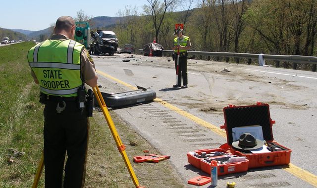
The purpose of the crash diagram is to take the guesswork out of the investigation and to demonstrate the location of vehicles and other related physical evidence. It allows reconstruction of the crash scene to determine how it happened. In minor cases, sketches will be sufficient. Major cases, such as fatal crashes, require a finished diagram.
NOTE: Web Crash users may use the online tool or provide a copy of a scanned image using the Diagram/Image feature.
114. Incident Number
Enter the incident number assigned to this crash in the space provided located in the upper right corner of Page 4. (In the web application, the Incident Number will automatically populate from page 1 information.)
115. Vehicle Moved
Circle “yes” or “no” as to whether or not any vehicles were moved prior to the officer’s completion of the crash diagram.
116. Crash Diagram
This space is provided for the reporting officer to draw a diagram of what happened in the crash. If the vehicles were moved prior to the reporting officer’s arrival at the scene of the crash, the information from the investigation should be used to draw the diagram.
(If you are submitting electronically, you can attach either a scanned image of a hand drawn diagram or the jpeg file that was created in a commercial diagramming software tool. Jpeg and Tiff files are acceptable computer file formats.)
What Should be Included on the Diagram
A. In the upper right hand corner of the diagram box draw an arrow in the circle provided to indicate north.
B. All streets and highways should be properly labeled with their names and/or numbers.
C. Number all vehicles the same as they were numbered on Page 1 of the crash report.
D. Known positions of vehicles, pedestrians and cyclists are illustrated with solid lines. These are locations actually seen by the officer.
E. Positions “believed” (based on investigation) are illustrated with broken lines.
F. Identify reference points, reference lines, spots and other features as needed.
G. Show measurements without measurement lines whenever possible.
H. The distance and direction to landmarks (intersections, bridges, railroad crossings, mile markers, etc.) should be included and identified by number or name.
I. Include traffic controls and crosswalks where appropriate.
117. Additional Sheets Attached – Circle “yes” or “no” if additional diagram pages are attached.